Observatoire de Physique
du Globe de Clermont-Ferrand
OI²
Observatoire InSAR de l'Océan Indien


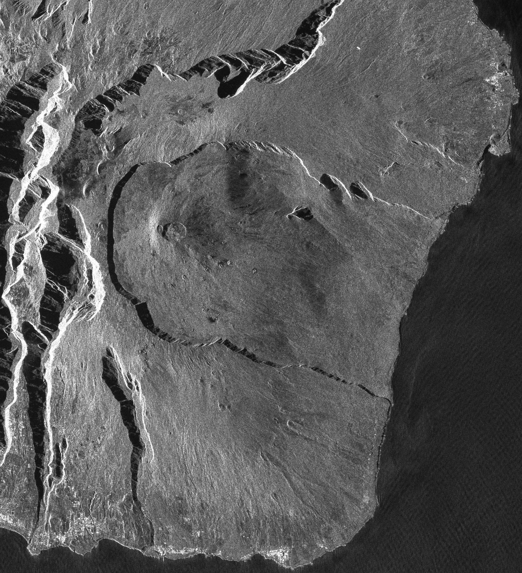
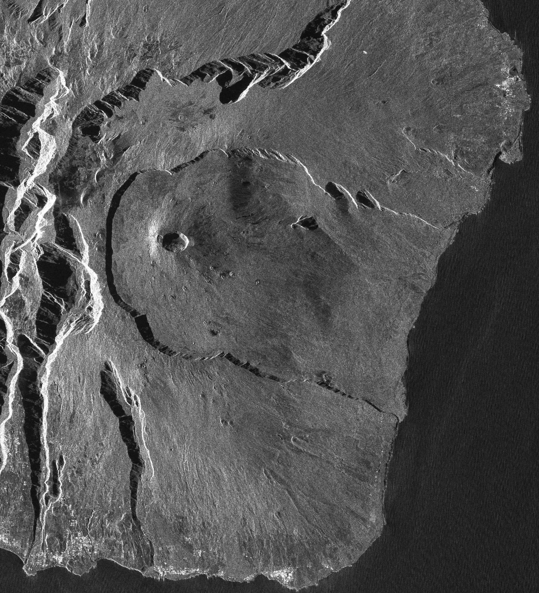
OI² - A CLOSELY MONITORED VOLCANOII - Main principles of interferometryInterferometry is based on pairs of radar images which are acquired for the same geographical area at different dates but with very close viewing angles. The first image is called the master image whilst the second one is called the slave image. The resulting interferogram image is based on the phase differences for each pixel between the master and slave images.
In a given image, the phase for each individual pixel is determined by the distance of the pixel from the radar and the backscatter from the pixel surface. If the backscatter remains constant over the time-period covering the acquisition dates of the two images (in other words if the dielectric properties of the pixel surface and the geometry of the elementary backscatter within the pixel remain constant) then the resulting difference in phase between the two images for each pixel has three possible origins:
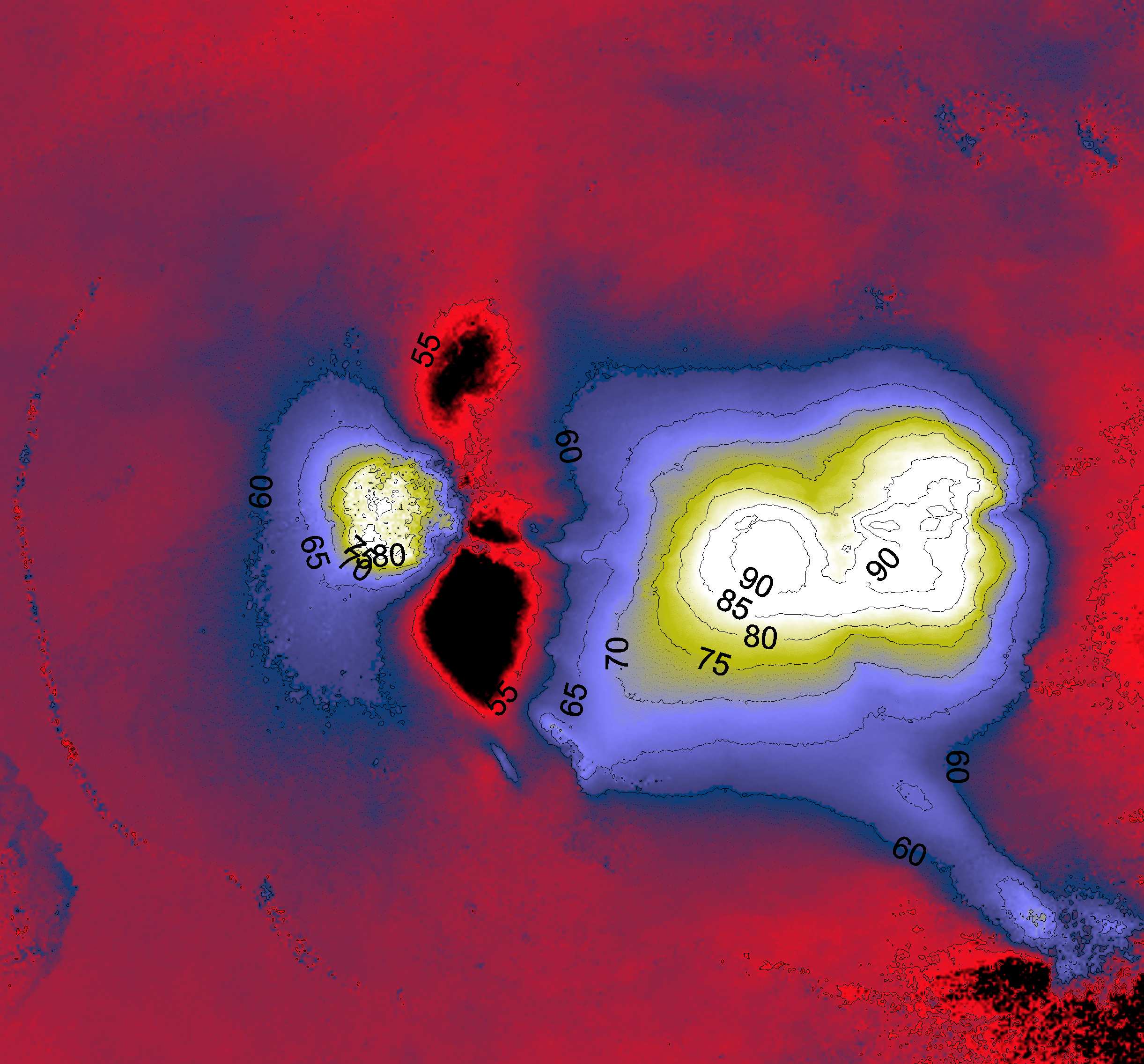
If the satellite orbit geometry and the topography (DEM) are precisely constrained then their respective contributions can be removed from the interferogram (point 1). In addition, if the difference in atmospheric conditions between the acquisition of the master and slave images is negligible (point 3), then the observed phase shifts on the interferogram must be a direct effect of ground deformations which took place between the two acquisition dates. These phase shifts are generally assembled into regular variations on the interferogram known as fringes. A whole fringe corresponds to a phase change of 2π, in other words a displacement of λ/2 in the direction of the radar (where λ is the radar wavelength, 5.6 cm for ERS and ASAR, 23.6 cm for PALSAR). However the phase is only known in the modulus of 2π. To remove this ambiguity the interferogram is subjected to an unwrapping treatment.
The unwrapped phase can be converted into a displacement value, measured along the line-of-sight of the satellite, simply by mutliplying it by λ/4π. The accuracy of the measurements depends on the accuracy of the orbital coordinates of the satellite. It can also be affected by variations in the physical properties of the atmosphere, or by changes in the physical or geometric properties of the elementary backscatter on the ground surface, between the two acquisition dates. An estimate of the accuracy of the measurements is obtained by calculating the mean variation over an interoferometric zone which is assumed to be unchanging. The typical variation values obtained for the Piton de la Fournaise are in the order of 8.8×10⁻⁵ m². The spatial resolution of the interferogram depends on both the resolution of the radar data and on the resolution of the DEM used in the calculations. The interferogram resolution can vary from several tens of metres to several metres (in other words between 1600 and 6400 measurements / km²). The time resolution is determined by the orbit cycle of the satellite radar: 46 days for ALOS-PALSAR, 35 days for ENVISAT-ASAR, 11 days for TSX and potentially 4 days for CSK, if all four satellites in the constellation are used. For further information on the method:
|
||||||||
 |
 |
 |
 |
Home page - Contact - Credits & Legal - Last update : 2013/11/07